Kasey C. Bolles, PhD
I am an Earth scientist, conservation professional, and naturalist who studies how landscapes change over time, using field observations, historical records, and environmental data to understand the connections between land, water, climate, and people.
I am drawn to the layered stories of place: what can be observed in the field, what can be recovered from archives, and what those combined records reveal about environmental change. Through field research, historical imagery and texts, GIS, and landscape interpretation, I connect scientific evidence with conservation, hands-on land stewardship, and practical decision-making.
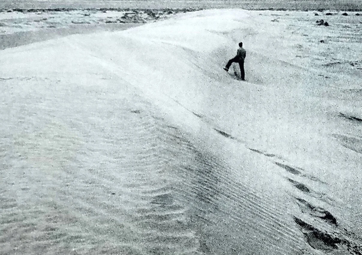
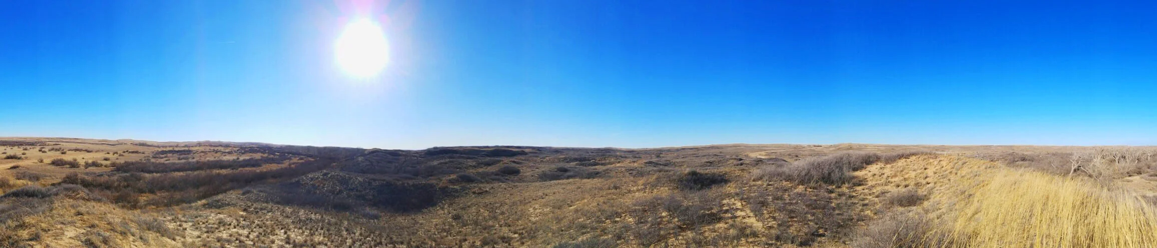
PHOTO: (top) Dalhart Dunes, Dallam County, TX, photographed during field research, 2017; (bottom) Archival photo of the Dalhart Dunes, 1940.