
Understanding Landscape Change
Drought | Dust | Human Consequences
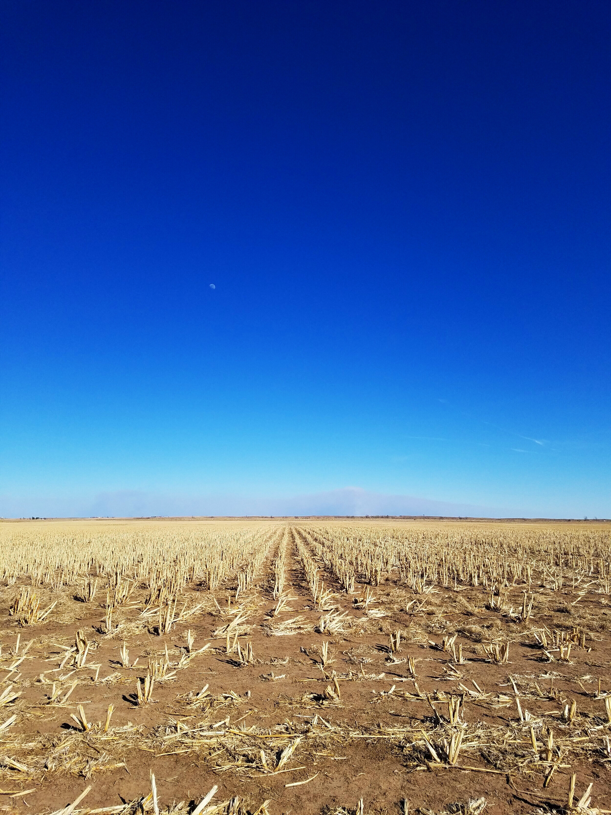
PHOTO: Smoke rises in the distance from a wildfire in Beaver County, Oklahoma, March 2017.
A central theme of my work is that landscapes remember.
Tree rings, soil layers, dunes, aerial photographs, maps, and archival records all preserve evidence of past change. When combined with field observations, they can help explain how climate variability and land-use decisions affect ecosystems, agriculture, water resources, public health, and communities.
Understanding those histories also provides context for present-day conservation. It can help establish baseline conditions, identify landscape vulnerabilities, interpret ongoing change, and support informed decisions about land and water stewardship.
DROUGHT:
Drought affects far more than precipitation totals. It shapes water availability, vegetation stress, agricultural production, wildfire risk, ecosystem resilience, and human communities. My postdoctoral research used tree-ring records, climate data, and atmospheric circulation patterns to place recent western U.S. drought conditions in a much longer historical context.
As part of a collaborative study published in Science, we used a network of tree-ring records across western North America to show that the recent megadrought ranks among the most severe droughts of the past 1,200 years. I also led research using tree-ring data to reconstruct atmospheric circulation patterns linked to central U.S. “flash droughts,” published in Geophysical Research Letters.
Selected Work: Williams et al., 2020; Bolles et al., 2021.
Media: SparkDialog with Dr. Elizabeth Fernandez; Top of Mind with Julie Rose; Outside/In.
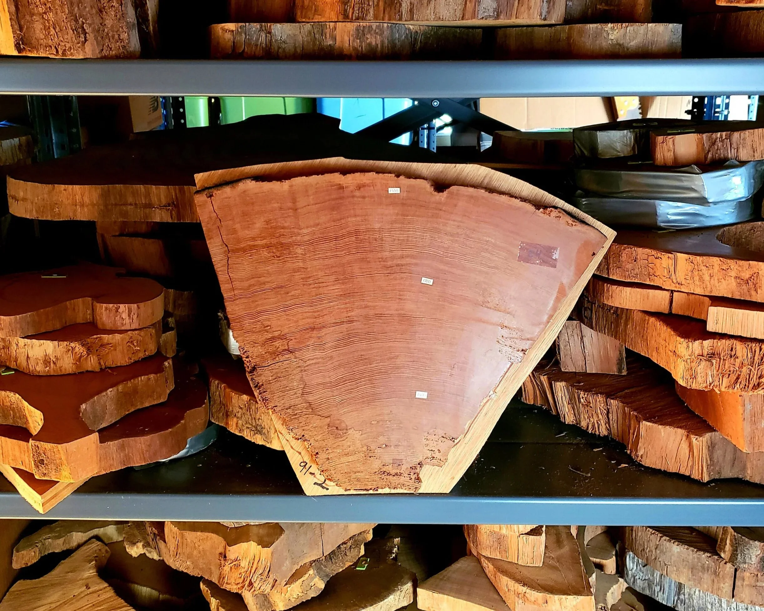
PHOTO: Coastal Californian Redwood cross-section spanning c. 1550-1825 CE. Tree rings are invaluable records of hydroclimate, preserving annual evidence of wet and dry conditions. Learn more about dendrochronology at LDEO’s Tree Ring Lab!
DUST:
My doctoral research focused on wind erosion and landscape vulnerability during the 1930s Dust Bowl, including the long-running question of how climate, land use, soils, vegetation, and landforms combined to produce one of the most consequential environmental crises in U.S. history.
Although the Dust Bowl is often explained primarily through cultivation and land misuse, the most severely degraded areas did not always align with the most heavily cultivated areas. To investigate this, I combined fieldwork, historical aerial photography, archival records, stratigraphic sections, soil and vegetation mapping, landform interpretation, and portable wind-tunnel measurements.
This work showed that naturally occurring sandy rangelands also contributed to Dust Bowl dust emissions, demonstrating that cultivation alone could not explain the geography of degradation and highlighting the importance of understanding landscape vulnerability before crisis conditions emerge.
Selected Work: Bolles et al., 2017; Bolles and Forman, 2018; Bolles et al., 2019
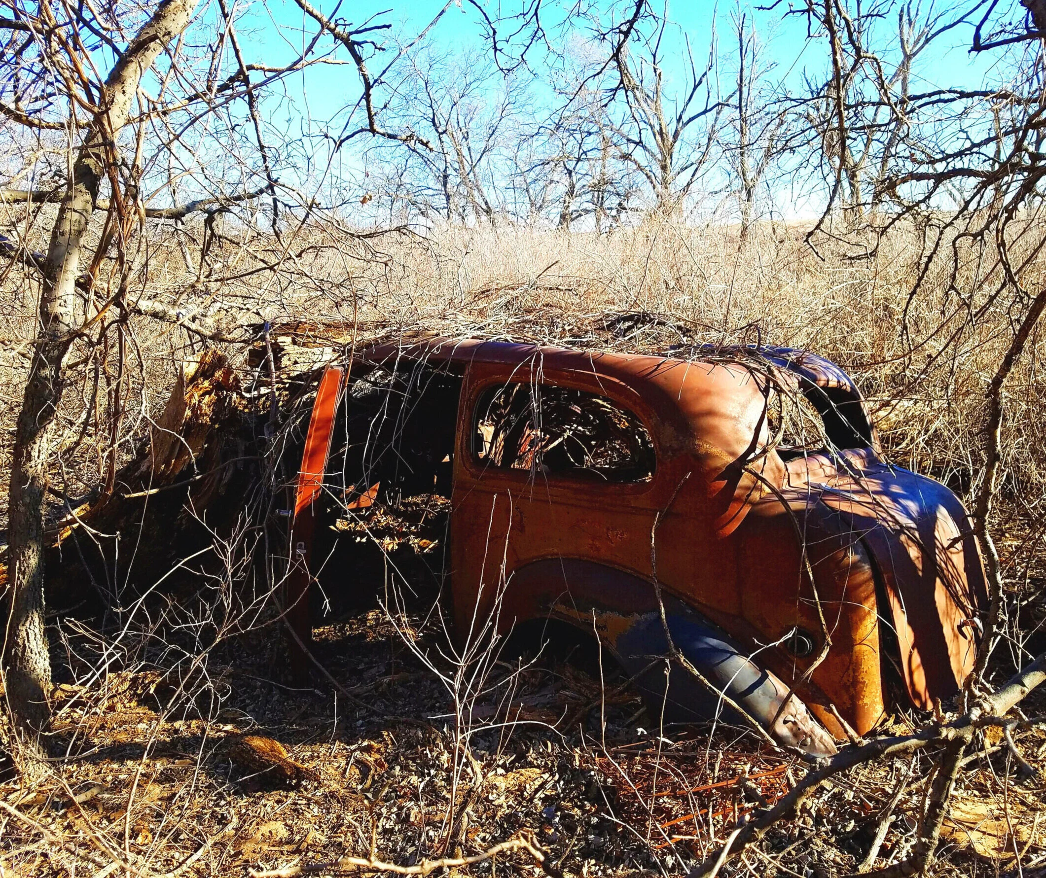
PHOTO: A c. 1936 Buick sedan exposed by an eroded dune, Beaver County, Oklahoma.
HUMAN CONSEQUENCES:
Drought and dust are reminders that landscape change has human consequences. Soil erosion, vegetation loss, aridity, and airborne dust can affect air quality, respiratory health, food security, and the uneven distribution of environmental risk.
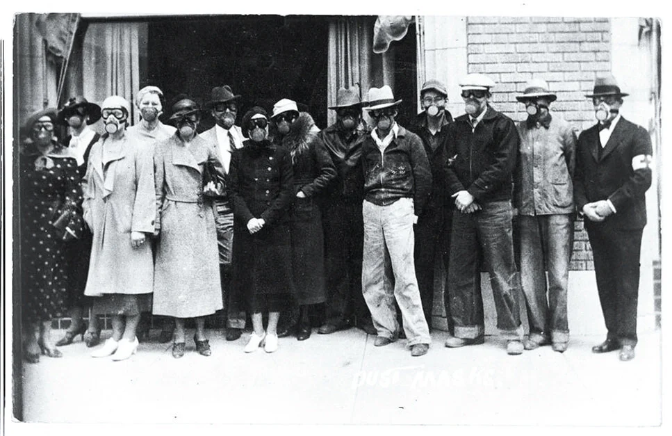
In collaboration with researchers at National Jewish Health and CU Anschutz, I examined mortality during the 1930s Dust Bowl drought. The work found elevated rates of pneumonia-related deaths in southern Great Plains states compared with the national average, highlighting why land condition, climate stress, and human vulnerability need to be understood together.

PHOTO: Citizens wearing dust masks outside the Red Cross c. 1937, Liberal, Kansas. Credit: Kansas Historical Society.
Across these and other projects, my work has centered on reading evidence preserved in landscapes and historical records, identifying the processes driving change, and communicating what those changes mean. I am now focused on applying that approach to landscape assessment, monitoring protected lands, conservation planning, and long-term stewardship.